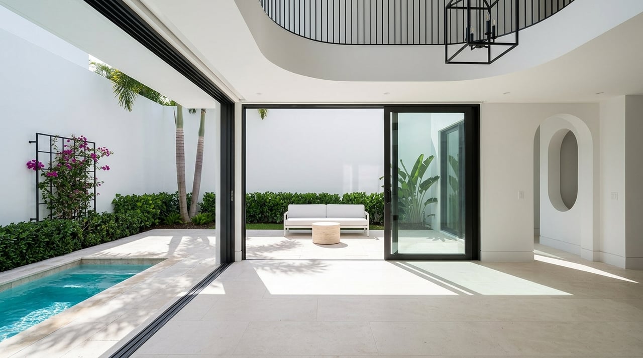
Exploring Deepwater Access in Fort Lauderdale's Bay Colony
If you own a boat, “deepwater access” can make or break a Fort Lauderdale home search. You want a property where you can leave your dock at low tide, clear the bridges, and reach open ocean without stress. In this guide, you will learn what deepwater access really means, how to evaluate a Bay Colony waterfront, and which permits and rules matter before you buy. You will also get a practical checklist and a simple way to estimate your time to the inlet. Let’s dive in.
“Deepwater access” is not just a buzzword. It is a set of physical and regulatory conditions that determine whether you can move from your dock to open water safely and reliably.
Depth protects your keel. Bridge clearance protects your mast or tower. Maintained channels protect your route. When you shop, verify each of these items using authoritative sources like NOAA nautical charts, NOAA Tides & Currents, and USACE navigation channel reports.
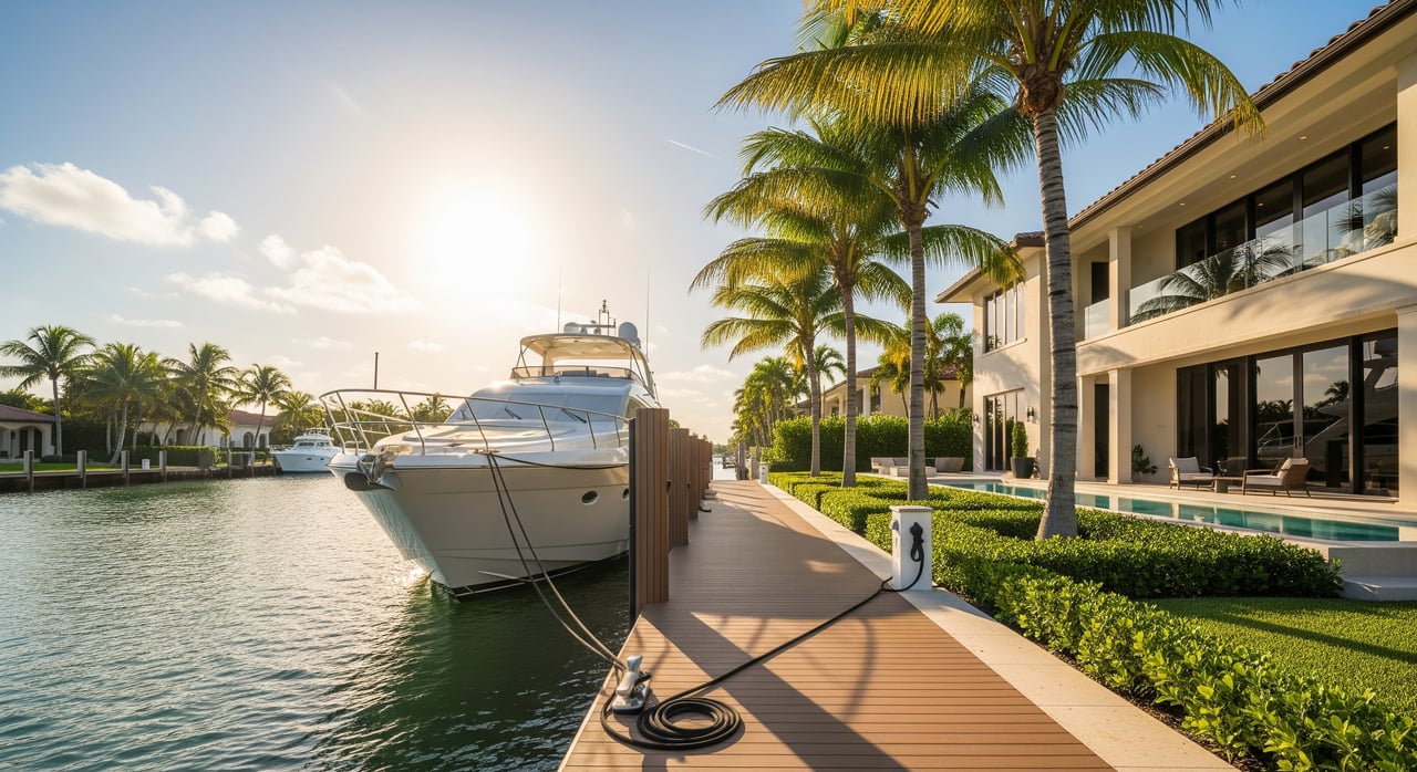
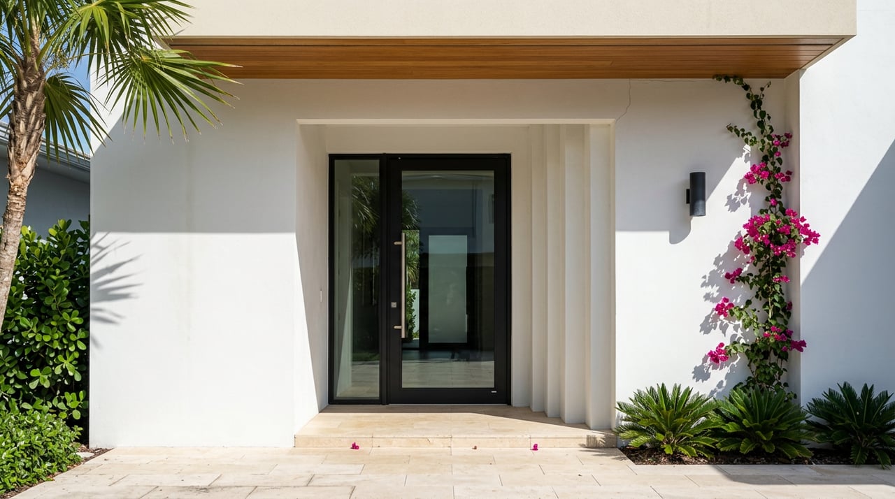
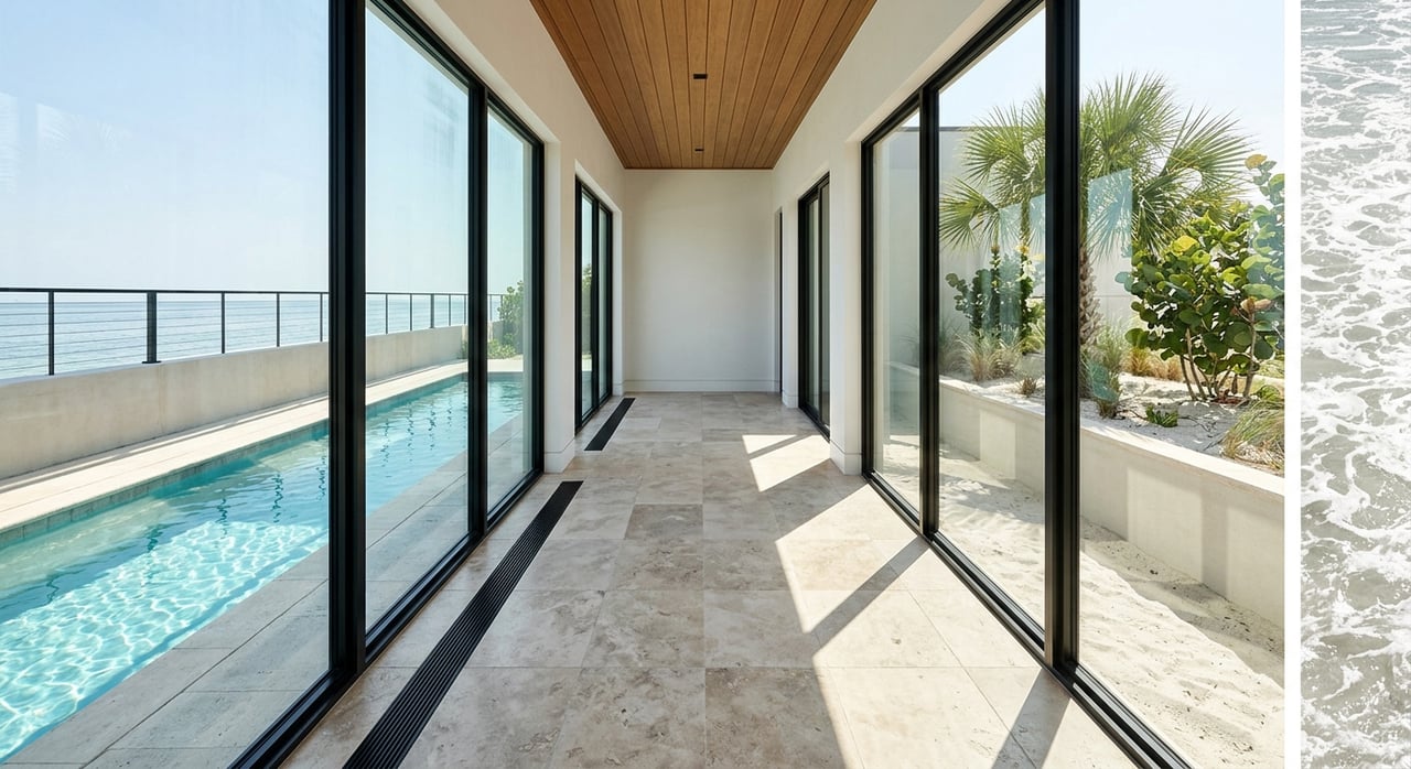
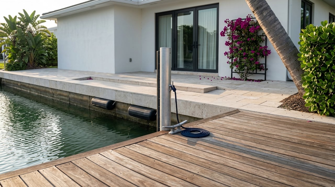
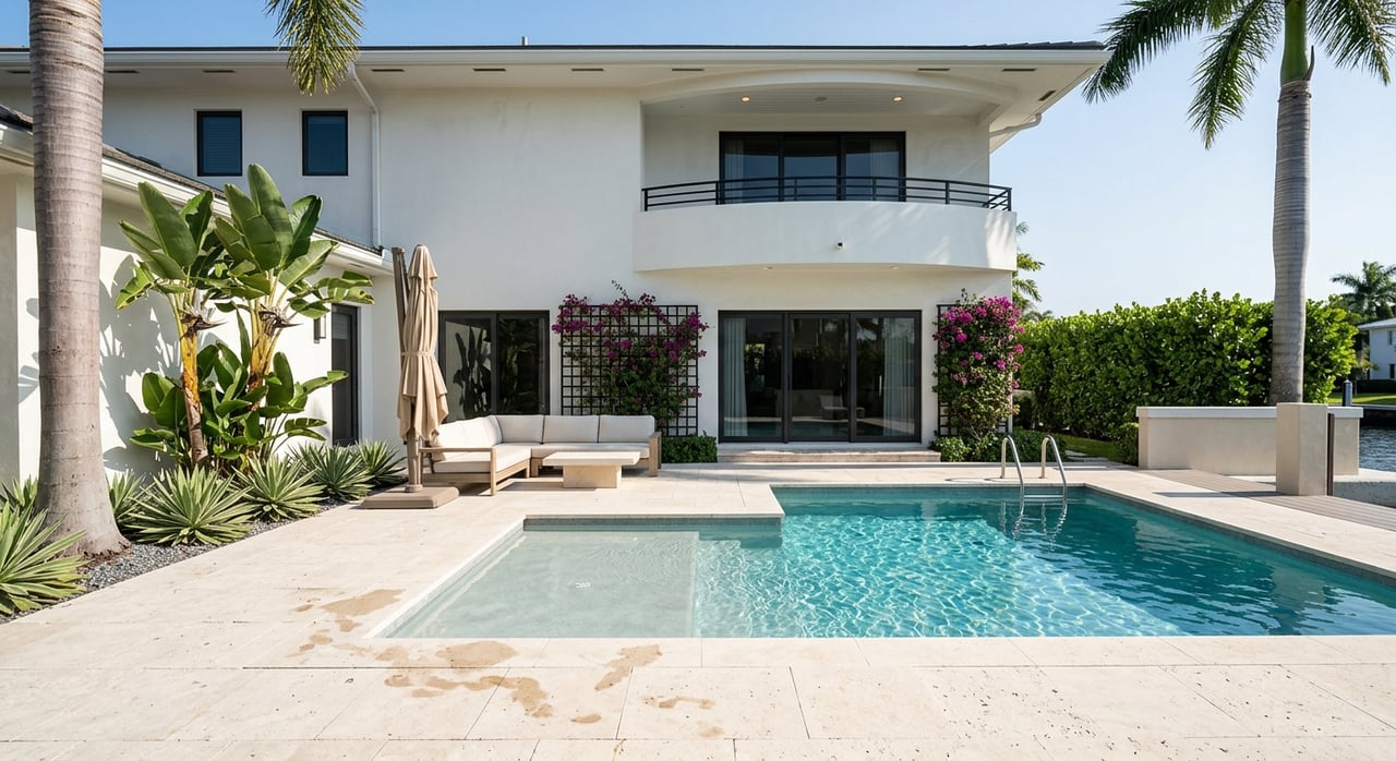
Bay Colony is a prime example of a Fort Lauderdale waterfront neighborhood with private docks and direct canal frontage. From here, many routes flow toward the Intracoastal Waterway and then to Port Everglades Inlet. Some boaters also consider Hillsboro Inlet to the north, depending on conditions and plans.
Because canal depths can vary by property and season, avoid relying on generalized numbers. Ask the seller or HOA which depth datum they use, and confirm on site. You can also cross-check charted depths on NOAA nautical charts and review federal channel maintenance updates through the USACE navigation channel reports. For local bridge policies and waterfront rules, refer to the City’s Marine Advisory Board resources.
When you see a depth measurement, ask what the reference is. A conservative standard is Mean Low Water (MLW). Many boaters aim for at least 1 to 2 feet of under-keel clearance at low tide for routine transits.
Typical guidance by vessel type:
Check tide predictions before you plan any transit. Fort Lauderdale tide data is available on NOAA Tides & Currents.
Bridges can be a deciding factor.
If your route includes timed openings, build that into your transit plan. The City shares marine policy updates through its Marine Advisory Board resources. Always verify current procedures before you commit to a route.
Another key question is whether your path relies on a maintained federal or county channel. Federal channels that are actively dredged provide more predictable depths. Unmaintained residential canals can shoal and change seasonally, which affects year-round usability.
For the Fort Lauderdale area, Port Everglades is the primary inlet, and its federal channels are overseen by the U.S. Army Corps of Engineers. Review current maintenance status and notices via USACE navigation channel reports.
Waterfront improvements and modifications in Broward County usually require permits from several agencies. Typical authorities include the City of Fort Lauderdale, Broward County, the Florida Department of Environmental Protection, and the U.S. Army Corps of Engineers.
Environmental factors also matter. Seagrass, mangroves, and protected species can influence whether a property can be dredged or modified, and how. Manatee protection zones include local speed restrictions. You can review state guidance on environmental resource permitting through the Florida DEP Environmental Resource Program and find speed zone maps on FWC manatee protection zones.
Insurance and resiliency should be part of your due diligence. Ask your carrier about seawall and dock condition standards. Review local flood risk using Broward County flood zone resources, and plan for storm surge and haul-out options as part of your ownership strategy.
When you tour a property, it helps to visualize how far you are from the inlet and how long a typical run might take. A simple rule of thumb uses the basic formula:
Time in minutes = (Distance in nautical miles ÷ speed in knots) × 60
Example: A 2 nautical mile route takes about 6 minutes at 20 knots, or about 12 minutes at 10 knots. Your actual time depends on speed limits, bridge openings, traffic, and sea state.
Consider adding a small map to your notes:
This quick visual gives you a clear sense of proximity without promising fixed times.
Bring this checklist when you evaluate a Bay Colony waterfront or any Fort Lauderdale canal home.
Your boat and lifestyle deserve the right waterfront fit. Our team understands Fort Lauderdale’s canal systems, Bay Colony’s nuances, and what deepwater access requires in practice. If you want discreet guidance on specific listings, route checks, and permit history, connect with Tagliamonte & Associates for a private consultation.
Stay up to date on the latest real estate trends.

A top South Florida producer since 2000 and recognized as in the top ½% of real estate producers nationally, Sandra Tagliamonte and Tagliamonte and Associates take pride in their ability to assist clients in the most effective and successful ways.